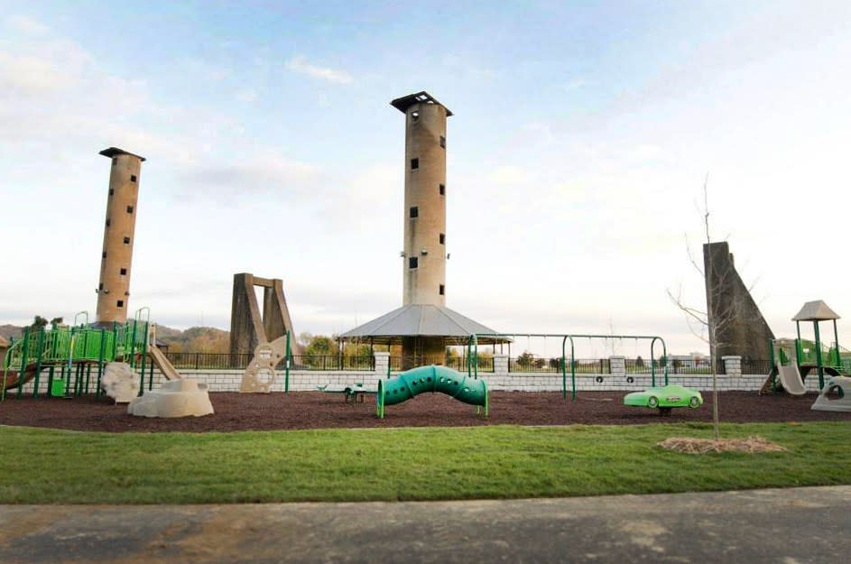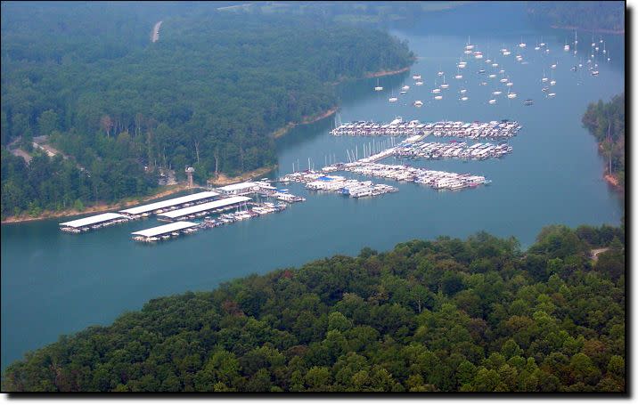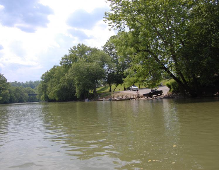
Lock No. 14 on the Kentucky River
Lock No. 14 on the Kentucky River Read More »

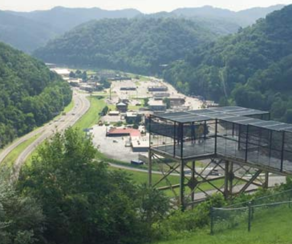
Visitors can expect more than just an astonishing view when visiting the Cut-Through Project overlook. Located on Bob Amos drive, the Cut-Through overlook sits atop a majestic mountain surrounded by beautiful scenery and the Bob Amos Park, which features a rubberized oval walking track, hiking trail, horseshoe arena area, tennis courts, basketball courts, soccer fields,
Pikeville Cut-Through Project Read More »
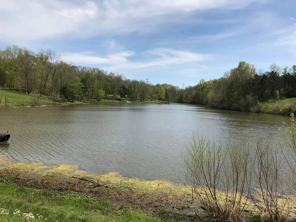
Logan Hubble Park is a 0.9 mile lightly trafficked loop trail located near Lancaster, Kentucky that features beautiful wild flowers and is good for all skill levels. The trail is primarily used for hiking, nature trips, and bird watching. Dogs are also able to use this trail but must be kept on leash.
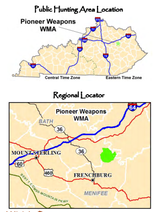
Located approximately 10 miles south of Morehead, KY. Salt Lick, KY located on US-60 can be accessed via I-64 exits 123 and 133. Road access within the WMA is provided by the Zilpo Scenic Byway (FR 918) north of FR 129, Buck Creek RD (FR 918A) that loops around to meet Zilpo Scenic Byway and
Pioneer Weapons Wildlife Management Area Read More »
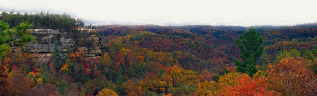
The Red River rises in the mountainous region of the Cumberland Plateau, in eastern Wolfe County, approximately 15 mi (24 km) east of Campton. It flows generally west, through Red River Gorge in the Daniel Boone National Forest, then past Stanton and Clay City. It joins the Kentucky approximately 11 mi (18 km) southeast of Winchester,

Kentucky Ridge State Forest consists of 15,251 acres which is open to public hunting and fishing, subject to state fish and game regulations, and is available for primitive camping, hiking and picnicking.
Kentucky Ridge State Forest Read More »
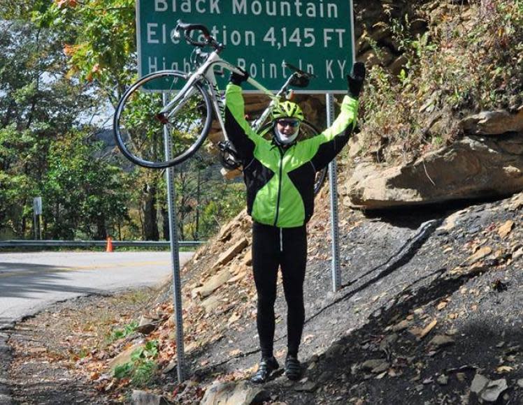
From western limits of Benham through Benham and Lynch up Black Mountain to the Virginia State line. Highest point in Kentucky. 4145 feet
KY 160-Black Mountain Read More »