
Trails
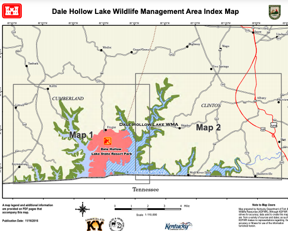
Dale Hollow Lake Wildlife Management Area
WMA is a shoreline buffer of Dale Hollow Lake. Access at end of Scott-Finley RD off HWY 449 and end of Casey Branch RD off HWY 61 and by boat. Terrain varies from gently rolling creek bottoms to steep ridges. Fishing, boating; camping, recreational facilities at Dale Hollow Lake State Resort Park.
Dale Hollow Lake Wildlife Management Area Read More »
Dawkins Line Rail Trail
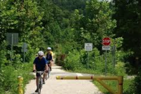
The entire 36 miles of the trail, stretching from Hagerhill in Johnson County to Evanston in Breathitt County, is now open to hikers, bikers, and horseback riders. The first 25 miles up to Tip Top Tunnel features 24 trestles and the 662-foot Gun Creek Tunnel. While the final 11 miles is now complete, Tip Top
Dawkins Line Rail Trail Read More »
Dix River Dept Park
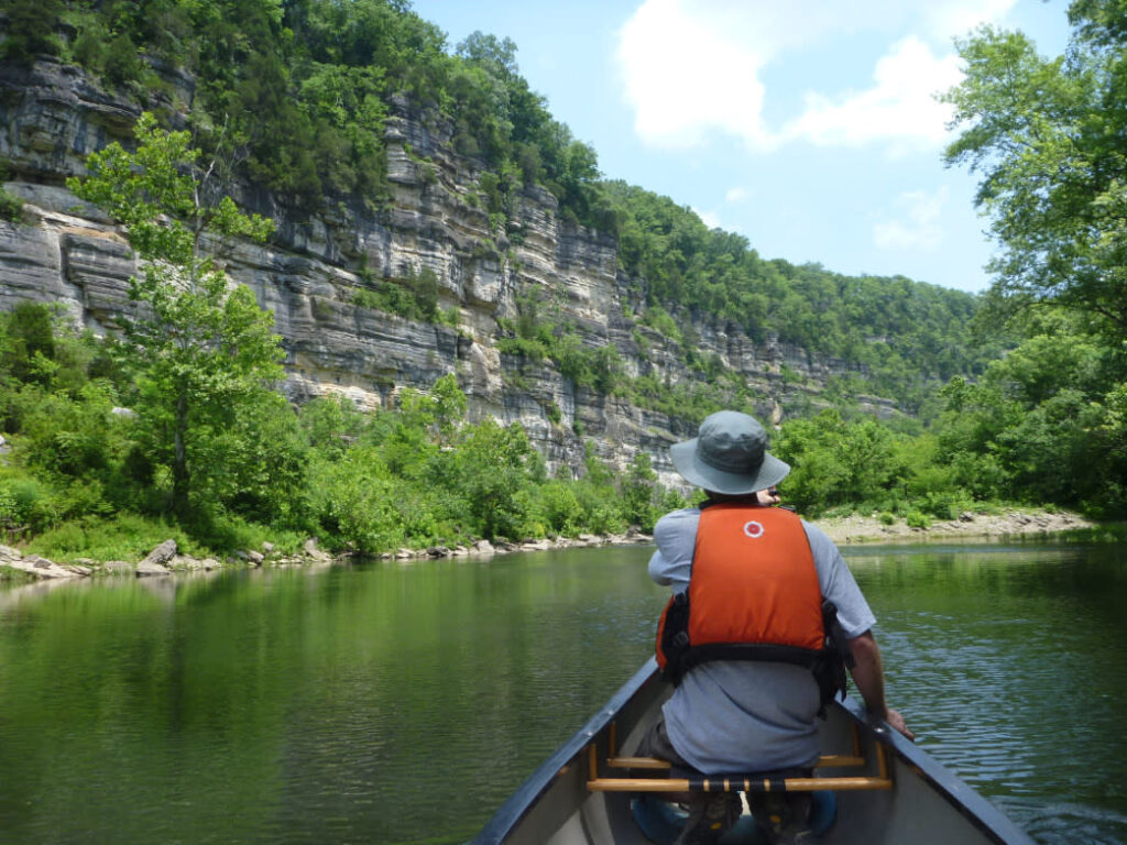
Dix River WMA is located in east central Lincoln County and consists of the 400 acres. The topography consists of flat bottomlands and the majority of the property is bounded by Dix River and Mud Lick Creek. Approximately 120 acres are forested and 280 acres are in an open condition. Elevations range from 850 to
Dix River Dept Park Read More »
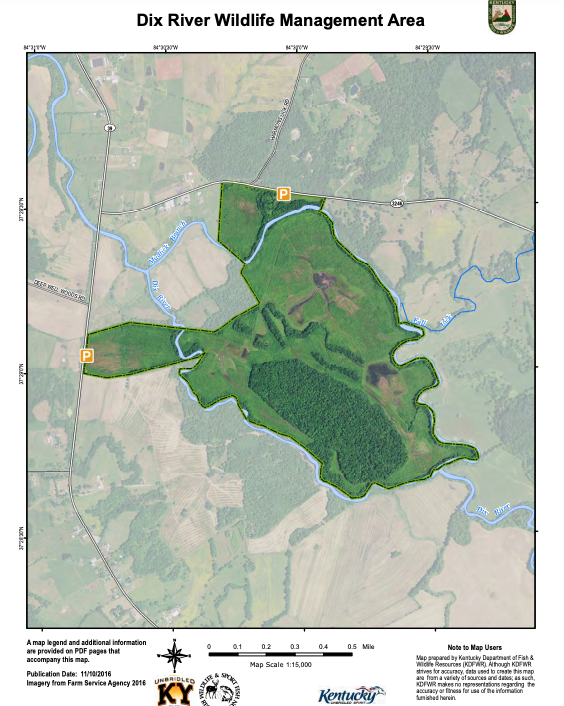
Dix River Wildlife Management Area
Dix River WMA is located in east central Lincoln County and consists of the 400 acres. The topography consists of flat bottomlands and the majority of the property is bounded by Dix River and Mud Lick Creek. Approximately 120 acres are forested and 280 acres are in an open condition. Elevations range from 850 to
Dix River Wildlife Management Area Read More »

Dragonfly Outdoor Adventures
We are dedicated to preserving our natural surroundings and resources, enhancing our cultural landscape, and providing affordable, safe, and accessible recreational activities to the Appalachian Area. Operating as a company with a conscience, we are driven to offer outdoor recreation, leisure, and educational experiences that enable you to take part in nature filled adventures that
Dragonfly Outdoor Adventures Read More »
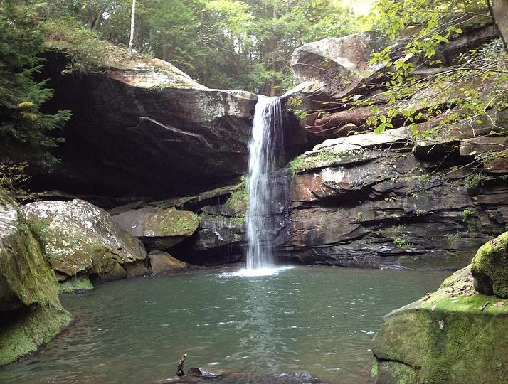
Flat Lick Falls Scenic and Recreational Area
?For the most scenic hiking through diverse vegetation, enjoy the trails at Flat Lick Falls Recreational and Scenic Area near Gray Hawk, Kentucky. From short-loop, handicap- accessible trails through scenic outlooks to longer, more rugged trails, this county-owned recreational area has something for everyone. Open all year long from sunrise to sunset.
Flat Lick Falls Scenic and Recreational Area Read More »
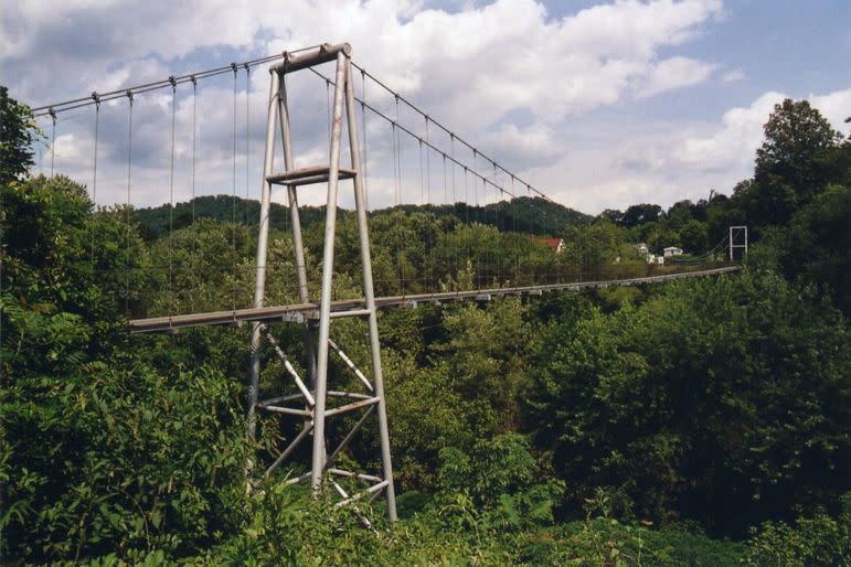
Forest and Maxine Preston Memorial Swinging Bridge
The Forest and Maxine Preston Memorial pedestrian bridge was constructed from composite plastic fibers, making the 420 foot bridge the longest plastic pedestrian bridge in the world. The lightweight bridge creates a safe yet unique walking experience, and is listed in the Guinness Book of World Records. Directions: From Paintsville, take US 23 North for
Forest and Maxine Preston Memorial Swinging Bridge Read More »
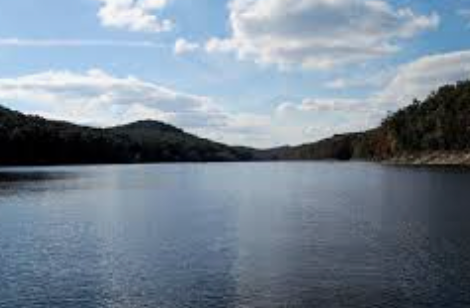
Cave Run Lake Loop
This route starts off following a valley with long sweeping turns. During the spring it is beautiful with the budding trees. After you turn onto 801 it won’t be long until you follow the lake. This is a gorgeous section of the loop with the hills of eastern KY behind the lake. After that you
Cave Run Lake Loop Read More »
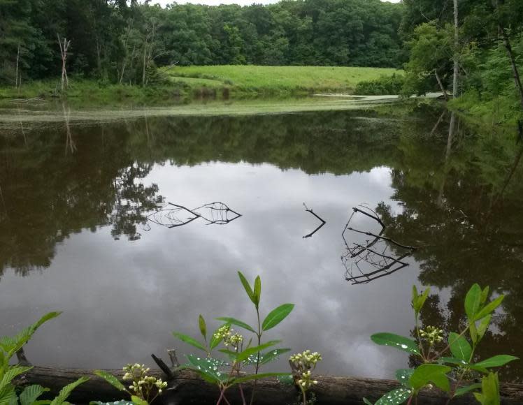
Central Kentucky Wildlife Refuge
The Central Kentucky Wildlife Refuge is a 500-acre preserve, located 13 miles from Danville in the Parksville knob land and bordering a stretch of the beautiful North Rolling Fork. The refuge is open to all as a protected area for the enjoyment and study of nature in its many fascinating forms — a large, typical
Central Kentucky Wildlife Refuge Read More »