
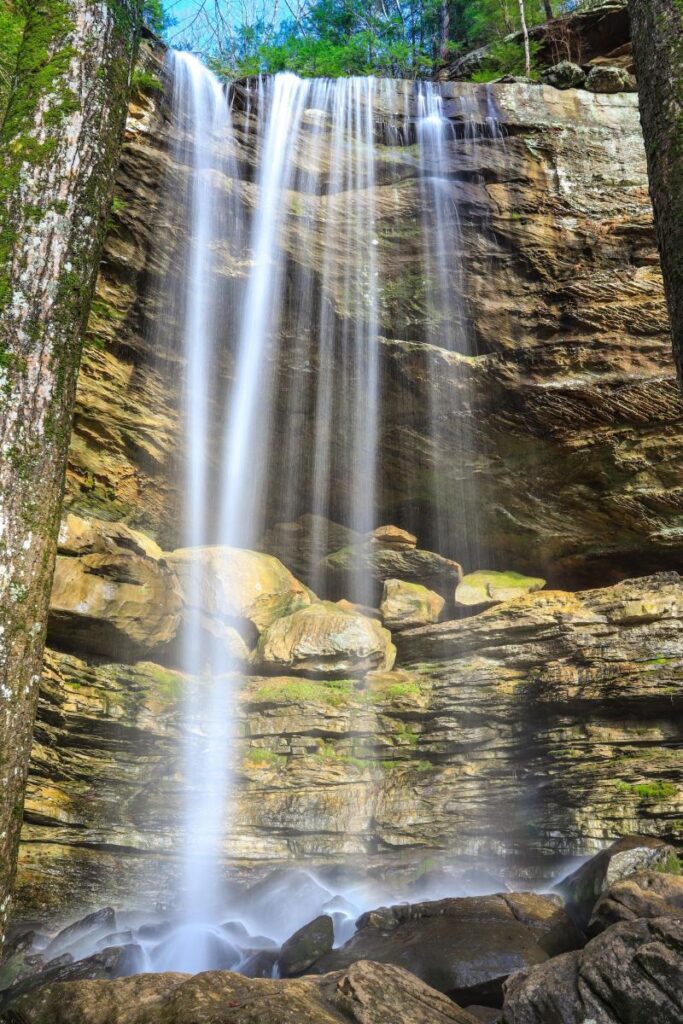
Streams trickling over rock cliffs, lush greenery and wildflowers line the way to jaw-dropping Anglin Falls, located in the wooded ravine of John B. Stephenson Memorial Forest State Park.
The short 1.7-mile out-and-back hike up to Anglin Falls is mostly uphill and offers views of limestone outcroppings and small caves with a few challenging spots. It’s considered a moderate route, though, taking less than an hour to complete with benches for resting along the way.
GPS Coordinates 37.4998068 N -84.2171549W
From Exit 76 on I-75, take US25/KY21 (Chestnut St.) 1.5 miles into Berea. Turn right onto KY21 (Prospect St.). Turn right onto KY595 (Scaffold Cane Rd.) for 2.25 miles, and continue on KY1617 (Scaffold Cane Rd.) for 2.1 miles. Bear left onto KY1787 (Disputanta Rd.) for 1.2 miles. Turn left onto Himanns Fork Rd. (CR1043) for 0.8 miles. Turn right onto Anglin Falls Rd (CR1042) for 0.8 miles. Turn left onto a gravel driveway, the parking area for the preserve is at the end of the driveway on the right.
Things to know before you go:
Before heading out to explore The Kentucky Wildlands Waterfall Trail, it’s a good idea to check on current trail conditions, waterfall volume and any restrictions concerning a particular waterfall’s access trail. For Instance, some trails are not pet friendly mainly for their own protection, as well as that of the local plant and animal life. Some waterfalls are also best visited during the rainier months of the year, while others are exceptional all year-round, with wintertime offering its own magical scenic backdrop.
CAUTION: Low lying areas are prone to flooding, so be alert for flooding when driving, camping or crossing streams in this area. Swift currents and undertows can make swimming and wading very hazardous.
Photo By Dustin Robinson