
Seventy- Six Falls – Clinton County
Albany KY 42602
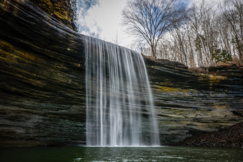
Located along Indian Creek, Seventy-Six Falls is believed to have been named after the nearby community of Seventy-Six. Though some think the name refers to its height before the impoundment of Lake Cumberland, that height was close to 84 feet. Regardless, the well-maintained trails, scenic bridges and picturesque views leading to Seventy-Six Falls, as well as its sheltered picnic area near the brink of the falls make it the perfect spot to spend an afternoon.
There is adequate parking, maintained trails and gorgeous bridges, bring your family, and pack a lunch and enjoy the picnic area which has a variety of views.
GPS Coordinates: 36.77916 -85.12591
Things to know before you go:
Before heading out to explore The Kentucky Wildlands Waterfall Trail, it’s a good idea to check on current trail conditions, waterfall volume and any restrictions concerning a particular waterfall’s access trail. For Instance, some trails are not pet friendly mainly for their own protection, as well as that of the local plant and animal life. Some waterfalls are also best visited during the rainier months of the year, while others are exceptional all year-round, with wintertime offering its own magical scenic backdrop.
CAUTION: Low lying areas are prone to flooding, so be alert for flooding when driving, camping or crossing streams in this area. Swift currents and undertows can make swimming and wading very hazardous.
Photo by Jim Ledford